Accurate, reliable geospatial survey data that keeps your projects moving forward
Discover MJ
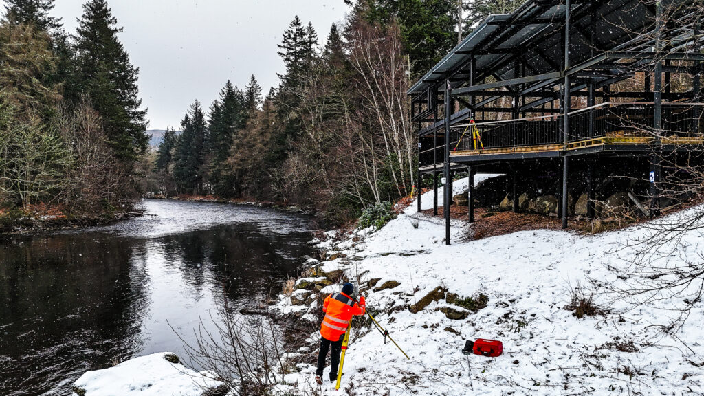
Hernon Engineering Surveys
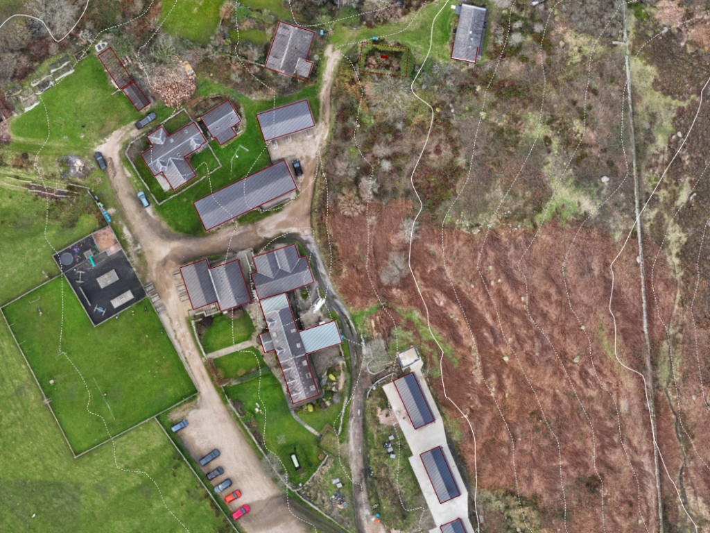
Topographical Surveys
Our topographical surveys provide detailed mapping of both natural and man-made features, including existing structures and utility assets. Using specialist techniques and advanced equipment, our surveys are essential for construction projects, land development, and environmental assessments, supporting informed decision-making based on reliable data
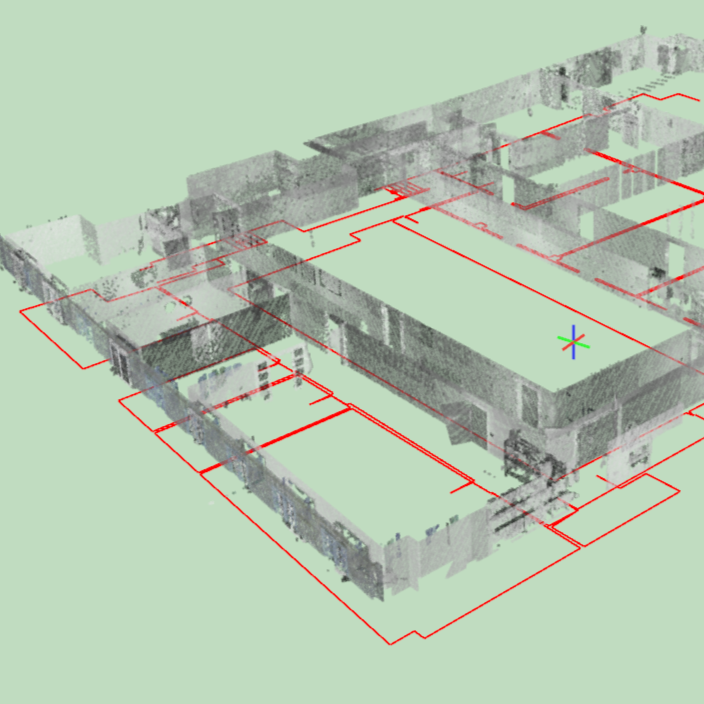
Measured Building Surveys
Measured building surveys capture a structure’s existing conditions, including floor plans, elevations, sections, and key architectural features. They can cover internal and external dimensions, structural elements, roof layouts, staircases, and openings. This detailed information supports the design of refurbishments, extensions, or new construction, helping architects, engineers, and project teams plan accurately, reduce errors, and make well-informed decisions throughout a project.
Drone Surveys
Drone surveys capture detailed aerial data of a site or structure, including topography, vegetation, buildings, and infrastructure. They can provide high-resolution images, 3D models, and orthomosaic maps, offering a comprehensive view that is difficult to achieve from the ground. This data is ideal for project planning, progress monitoring, and site analysis, delivering insights that would be otherwise hard to obtain.
Experience
Highly trained, degree qualified personnel and with extensive hands-on experience in the field
Fast Delivery
Because we know our industry isn’t a familiar subject to everyone, we act with transparency—recommending only what’s truly needed. A conversation will always be free.
Integrity
We can deliver detailed topographic data within 7 days of site capture.
Standards
Our services are delivered in line with RICS and CICES standards, reflecting our commitment to best practice and professional excellence
About Us
Comprehensive survey services
that turn real-world environments into
accurate digital models
Founded in London in 2014 and now based in Edinburgh, we deliver a bespoke suite of geospatial and engineering survey solutions across Scotland. We partner with architects, design teams, contractors, and businesses of all sizes, providing data-driven insights that drive smarter project decisions.
From feasibility and design to testing and commissioning, our goal is to make geospatial data accurate, accessible, and useable. By providing the right information at the right stage, we help reduce risk, streamline programs, and ensure your projects run smoothly from start to finish