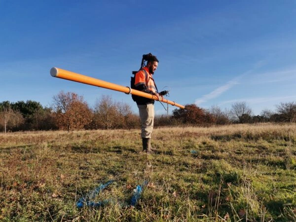
ACCURACY

BETTER SURVEY DATA

BETTER PROJECT DECISIONS

Geospatial Surveys

Drone Surveys

Engineering Surveys

About Us

Since 2014, We have been supporting engineers, architects, and construction professionals across Scotland and Northern England. We gather reliable geospatial data that forms a solid foundation for your project decisions, helping you plan, design, and build with confidence.

From topographical and measured building surveys, through to 3D laser scanning, drone mapping, and engineering setting out, we offer a full range of geospatial and engineering survey services.

Latest News

Lorem Ipsum is simply dummy text of the printing and typesetting industry. Lorem Ipsum has been the industry’s standard dummy text.

CICES supports International Women in Engineering Day

Lorem Ipsum is simply dummy text of the printing and typesetting industry. Lorem Ipsum has

Looking forward to a Prosperous2026!

Lorem Ipsum is simply dummy text of the printing and typesetting industry. Lorem Ipsum

years at the forefront of the industry
0 +
of established customers
0 's
projects successfully delivered
0 +

A Decade in the Industry

Scotland Based

Nationwide Service

Why Choose Us

Experience

Highly trained, degree qualified personnel and with extensive hands-on experience in the field

Integrity

Because we know our industry isn’t a familiar subject to everyone, we act with transparency—recommending only what’s truly needed. A conversation will always be free.

Fast Delivery

We can deliver detailed topographic data within 7 days of site capture.

Standards

Our services are delivered in line with RICS and CICES standards, reflecting our commitment to best practice and professional excellence