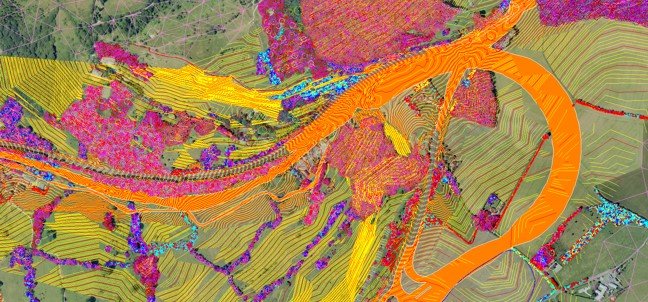
Terrain Modelling & Volumetric Analysis
Through precise data collection and advanced software, I am able to create detailed terrain models, offering insights into elevation variations, contours, and land features.
Additional volumetric analysis techniques provide accurate calculations of earthwork volumes, aiding in project planning, resource allocation, and cost estimation.
As a result, Terrain Modelling & Volumetric Analysis empowers industries to make informed decisions, optimize resource utilization, and ensure efficient and sustainable development of both natural and built environments