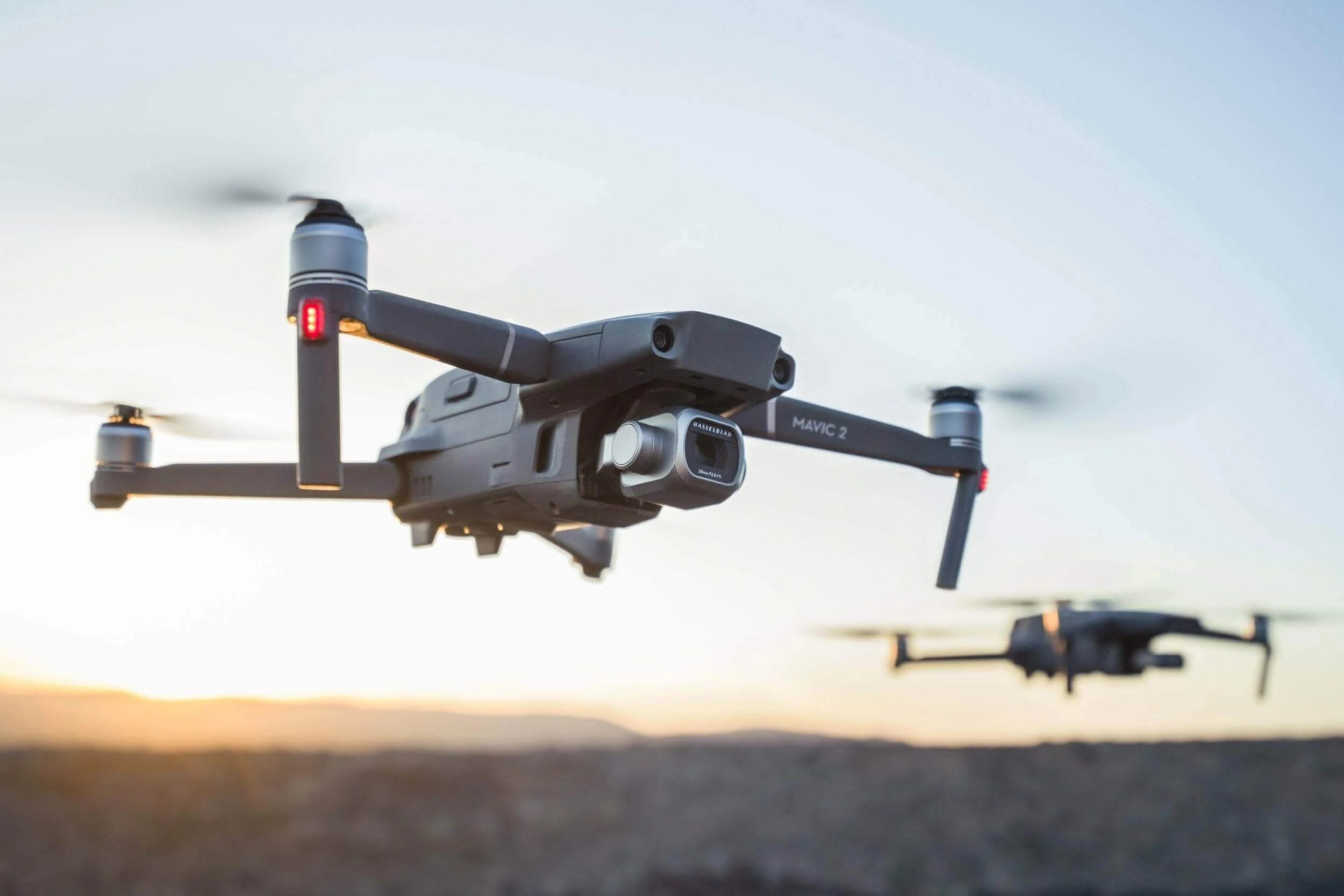
UAV LiDAR, Photogrammetry & Imaging Surveys
Unmanned Aerial Vehicles (UAVs), also known as drones, have opened up new areas of precision and efficiency in surveying by utilising high-resolution imagery and advanced mapping techniques. This enables accurate measurements, comprehensive visual documentation, and insightful analyses across numerous industries.
This innovative technique finds application across diverse industries, including construction, forestry, agriculture, archaeology, and environmental monitoring. By employing sophisticated cameras and software, I am able to obtain accurate visual data, enabling the creation of precise topographic maps, orthophotos, and 3D reconstructions.
The resulting deliverables support tasks such as site analysis, progress monitoring, and asset management. UAV Photogrammetry & Imaging Surveys have revolutionised the Survey industry’s data collection abilities. Enabling efficient decision-making, enhancing project documentation, and offering an entirely new perspective on understanding and managing your project's environment.