Since 2014, We have been supporting engineers, architects, and construction professionals across Scotland and Northern England. We gather reliable geospatial data that forms a solid foundation for your project decisions, helping you plan, design, and build with confidence.
From topographical and measured building surveys, through to 3D laser scanning, drone mapping, and engineering setting out, we offer a full range of geospatial and engineering survey services. Whether you need detailed site information while you are planning, or precise control during construction. We deliver our services with data that you can really rely on.
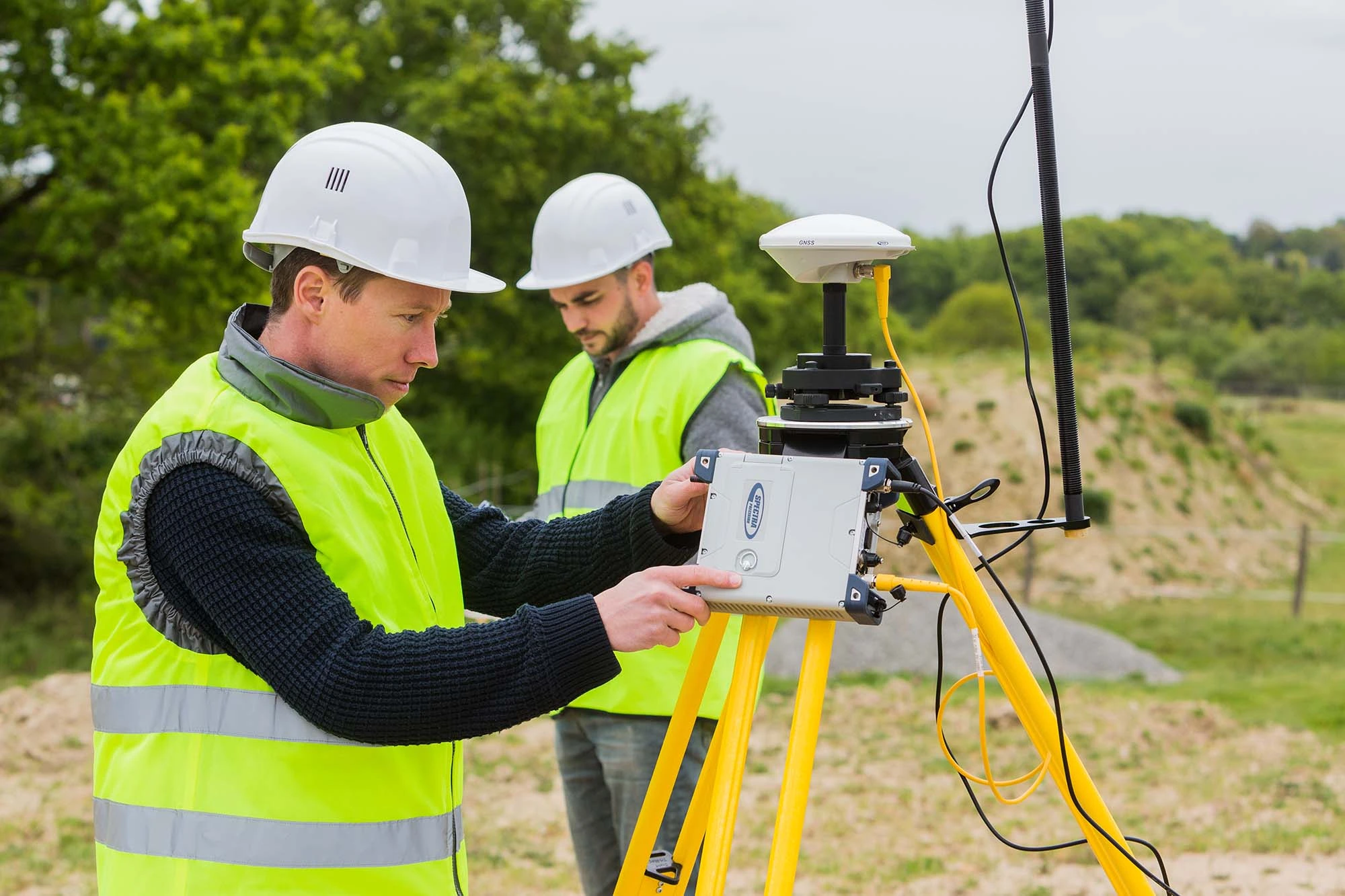
All our services are carried out to RICS and CICES standards, demonstrating our commitment to professional best practice. Technical expertise combined with a hands- on, director-led approach ensures we focus our services on exactly what your project needs.
Our mission? It’s simply to provide accurate, practical geospatial data that can assist with better decisions on site. We aim to make survey information less complicated, clear and easy to understand. We like to keep things straightforward.
Working with MJ Hernon Engineering Surveys means you are choosing experience, integrity, and a partner who is invested in getting your project right.
“I had the pleasure to work with Murray on a major development in Edinburgh City Centre, he came in at a very difficult period for us and really went above an beyond his role, his quality, attention to detail and problem solving were very much welcomed on this project. I couldn’t recommend Murray highly enough, if i could give more than 5 stars i would and i hope to work with Murray in the future again.”
Site Agent, Edgewater Contracts
Property Survey & Drone Inspection
Senior Project Manager for Surveys, Costain
Survey Lead, MaceDragados JV
“Highly reliable and supports the project team throughout the full project lifecycle. Proactive, practical, and consistently brings innovative ideas that add real value on site and in delivery. A pleasure to work with and highly recommend. Looking forward to working on many more technically challenging schemes together!”
The Erith Group
“M J Hernon Engineering Surveys undertook three drone surveys for the Scottish Environment Protection Agency (SEPA) over a period of five months running from November 2025 – March 2026. The drone surveys produced orthomosaic and DSM information compiled and produced into a report provided to SEPA. This data was used by SEPA to compare the landscape over time for evidence of disturbances or change. MJ Hernon Engineering Surveys provided additional support in 3D modelling and expertise to enhance SEPAs interpretation of the drone survey data.”
Senior Specialist Scientist, SEPA
A Decade in the Industry
Scotland Based
Nationwide Service