What You Can Expect from MJ Hernon Engineering Surveys
From start to finish, we provide practical and reliable surveying solutions.
Experienced Team
Our surveyors are degree-qualified and have years of hands-on experience. They know their stuff and deliver results you can rely on.
Honest Advice
Not sure what you need? We will talk you through it and only recommend what actually makes sense for your project. No upsell, just honesty.
Trusted Standards
We follow professional standards like RICS and CICES. It is our way of ensuring the work is done right and you get the quality you deserve.
Why Choose Us
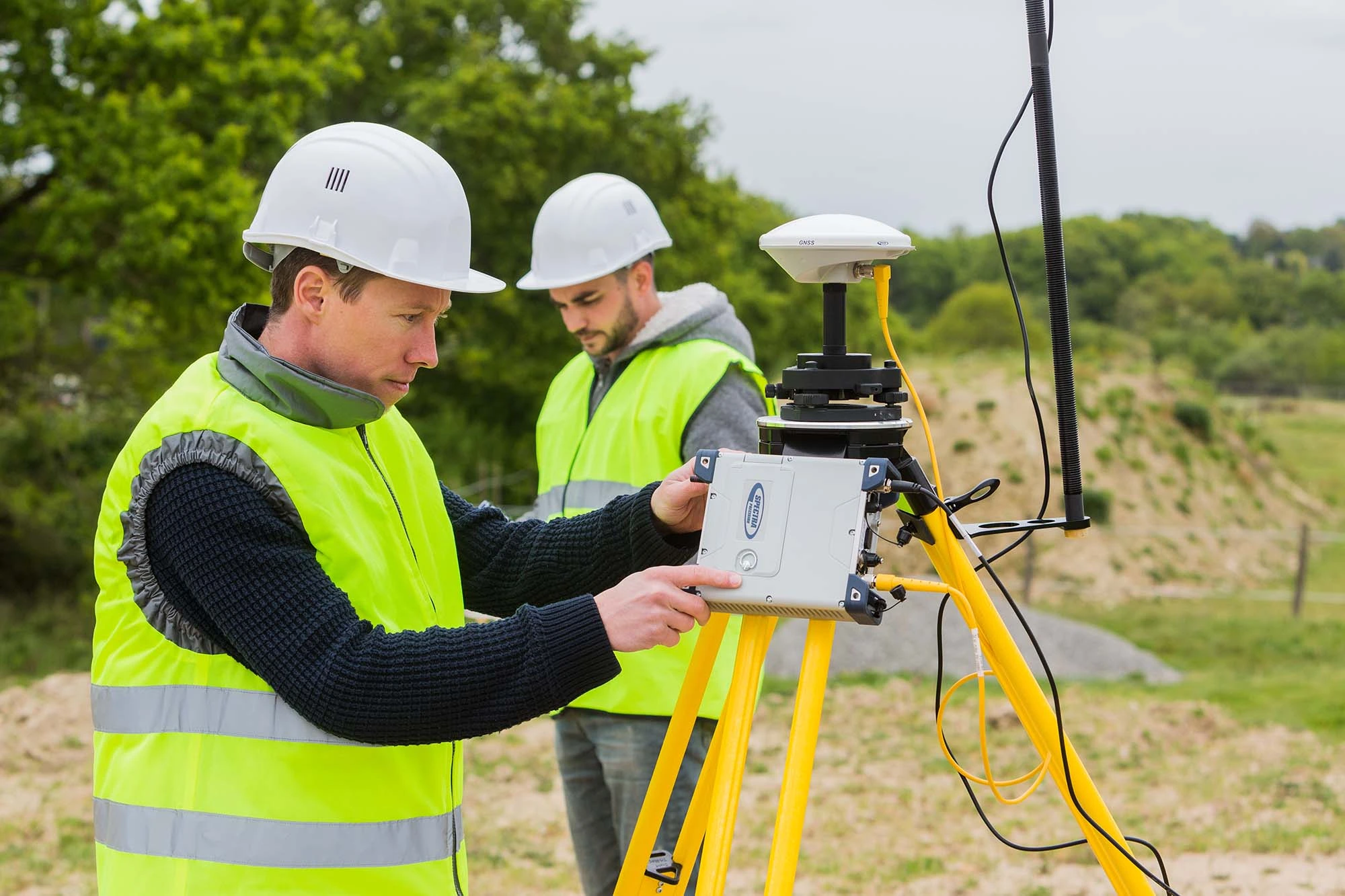
From topographical and measured building surveys, through to 3D laser scanning, drone mapping, and engineering setting out, we offer a full range of geospatial and engineering survey services. Whether you need detailed site information while you are planning, or precise control during construction. We deliver our services with data that you can really rely on.
What Sets Us Apart
Here are the reasons our clients rely on us.
Fast Delivery
Topographic data back to you within 7 days.
Experienced Team
Degree-qualified industry professionals with years of site work behind them. We have
done it all before, so you get it right the first time.
Honest Guidance
We tell you what you actually need. Nothing more, nothing less.
We Listen First
Every project is different. We figure out what works for yours and go from there.
“I had the pleasure to work with Murray on a major development in Edinburgh City Centre, he came in at a very difficult period for us and really went above an beyond his role, his quality, attention to detail and problem solving were very much welcomed on this project. I couldn’t recommend Murray highly enough, if i could give more than 5 stars i would and i hope to work with Murray in the future again.”
Terence Connolly
Site Agent, Edgewater Contracts
“Murray did an outstanding job of surveying a house I was looking to purchase. His price was very reasonable but the level of detail was exceptional, the survey document was clear and Murray was great to deal with throughout. I would without a doubt use MJ Hernon again”
Antony Miguel
Property Survey & Drone Inspection
“I have worked with Murray on two major projects in London. London Bridge Station redevelopment and HS2 enabling works in Euston. He was a highly valued member of the team with a broad range engineering and survey related skill sets. He has an excellent understanding of client requirements and is extremely good at turning his hand to new situations and challenges. Very good at problem solving and providing solutions. One of the first on the team sheet for me.”
Dean Bain
Senior Project Manager for Surveys, Costain
“Worked with MJH for a number of years and always provided a superb service.”
David Henry
Survey Lead, MaceDragados JV
“Highly reliable and supports the project team throughout the full project lifecycle. Proactive, practical, and consistently brings innovative ideas that add real value on site and in delivery. A pleasure to work with and highly recommend. Looking forward to working on many more technically challenging schemes together!”
Matthew Balson, Operations Director
The Erith Group
“M J Hernon Engineering Surveys undertook three drone surveys for the Scottish Environment Protection Agency (SEPA) over a period of five months running from November 2025 – March 2026. The drone surveys produced orthomosaic and DSM information compiled and produced into a report provided to SEPA. This data was used by SEPA to compare the landscape over time for evidence of disturbances or change. MJ Hernon Engineering Surveys provided additional support in 3D modelling and expertise to enhance SEPAs interpretation of the drone survey data.”